Offshore staff
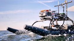
DUBLIN, Ireland – Gardline’sM/V Kommandor site survey vessel is demobilizing from waters offshore southwest Ireland after acquiring data suitable for a permitting application for the Newgrange exploration well.
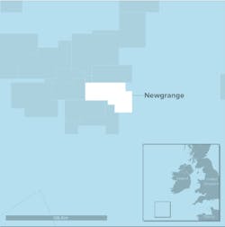
The prospect is in frontier exploration license (FEL) 6/14, operated by Providence Resources in partnership with Sosina Exploration.
Water depth at the location, 260 km (161 mi) from the coast, is around 1,000 m (3,281 ft).
Initial analysis of the seabed data over the proposed well location has confirmed the presence of more than 100 seabed pockmark features. The partners have interpreted these to be the result of fluid seepage from the underlying geology.
They also remain in discussions with a third party on a potential farm-out of equity in the license.
Dr. John O’Sullivan, technical director of Providence, said: “The initial results support the potential presence of a working petroleum system in the Newgrange prospect area.
“We are especially pleased with the results as we had hoped to see some evidence of fluid seepage given the shallow nature of the Newgrange prospect.”
07/11/2018
