Sweden: UNDERWATER SURVEYS: Digitized system identifies problems, creates report
Pipelines, cables, ship hulls, and permanent structures placed in the sea require periodic surveying to confirm their safe and continued operation. Damage, problems with protective coatings/coverings, and marine biological growth are just a few of the problems needing attention when operating in the active environment of the sea.
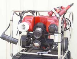
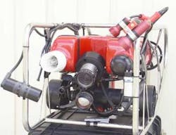
Tapiren Survey System has developed Spot On, a digital surveying system, to accurately map and examine underwater installations. The system combines a transponder positioning system and digital video recording system that is compact, portable, and easily deployed for work at dockside or from a service vessel in open water. The system can record up to four underwater cameras or sonar images.
The system's computer components are robust and travel in a rugged case. Dual hard drives are used in mirrored redundancy. This prevents loss of a survey due to hard drive failure. When the four cameras are in low-resolution mode, the drives have enough capacity to store 48 hours of surveying. When using a single camera, it can store up to 190 hours of surveying on the same disk.
Open water and dockside
For dockside surveying of a ship's hull, the system uses an array of transponders to create an accurate location system. This tracks the diver or ROV along with the images captured by the cameras. The video log and coordinate system are linked to the ship's hull drawings for the accurate location of damage or fouling. The ship owner can then take appropriate action to keep the vessel in serviceable condition.
For open water surveying of pipelines or cables, the system can be connected to a service vessel's global positioning system and used with an onboard underwater positioning system. If an onboard system is unavailable, transponders can be hung off the vessel in combination with a transponder on the ROV to accurately capture the ROV's global position. Pipeline problems can then be accurately located and documented. In all cases, the location coordinates and digital video information are recorded continuously along with the audio comments from the diver or ROV operator.
null
Once a survey is complete, a report can be generated in a matter of minutes. All the position information, video and sonar images, and comments are continuously recorded and linked to the map view of the ship schematic or pipeline track for display. This makes it is very easy to quickly examine interesting parts of the survey by placing the cursor along the survey track and clicking the mouse button at different points. The linked images and remarks appear as they were recorded and without any interruptions.
The progress of the survey can be followed either onsite or at a remote location through an Internet link. Once the report is compiled, the completed survey with the video imagery is burned onto a DVD for review and archiving.
For more information, contact Per Harrie, Tapiren Surveys. Tel: +46 31 91 15 10, fax: +46 31 91 15 23, email: [email protected], website: www.tapiren.com.

