Geo-data helping reduce risk at offshore cable landfalls
Key highlights:
-
Integrated geo-data reduces uncertainty by providing a clearer understanding of subsurface conditions across the offshore, nearshore and onshore environments.
-
Advanced surveys and modeling support better cable design by helping developers identify geohazards, optimize routes and mitigate potential installation challenges early.
-
Life-cycle geo-data improves long-term asset reliability by informing installation planning, monitoring changing seabed conditions and helping prevent costly cable failures.
By Molly Thompson, Fugro
Offshore installations and cable landfalls are facing a range of new and rapidly growing demands. Whether supporting the expansion of offshore wind, accommodating new subsea interconnectors, or preparing for the next generation of hydrogen and liquefied natural gas (LNG) export, offshore infrastructure and installations have become critical gateways for the global energy transition.
At the same time, developers are planning and installing linear infrastructure, such as high-voltage direct current (HVDC) links, pipelines and subsea communications cables, on an unprecedented scale. Yet beneath the surface of these ambitions lies a more familiar challenge: how little the industry truly understands the ground conditions these assets depend on.
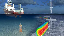
Understanding the ground beneath the landfall
Every cable landfall is geologically unique, shaped by an environment that can vary drastically. Connecting the offshore and onshore zones through coordinated nearshore ground investigations can help close the data gap often seen in the shallow transition zone. Projects stall or need costly redesigns when early surveys are too fragmented or miss crucial variables. In some cases, operators return to sites for further investigation after previous surveys simply because there is not enough clarity.
Emerging approaches in early-stage site characterization are transforming how developers reduce risk and keep projects on track. Early non-invasive screening to map higher-risk zones later gives way to focused, intrusive investigation to validate the model with minimal environmental disruption. From there, an engineered design supported by a refined, full-confidence subsurface model can emerge.
Applying subsurface insights at Hornsea 4
This life-cycle approach does not end once a cable route has been designed. The same geo-data can support installation planning and ongoing operations, helping developers understand how ground conditions may change over time and affect asset performance.
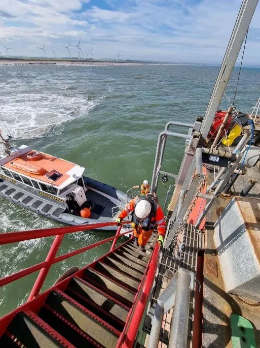
Remote technologies are increasingly supporting this process. Uncrewed surface vessels (USVs) and remotely operated vehicles (ROVs), advanced geophysical tools and high-resolution modeling enable teams to collect and update critical geo-data across the asset life cycle. This gives developers the ability to test scenarios, adapt designs and survey plans, and avoid costly surprises long before construction begins.
The value of this approach becomes particularly clear during operations. Cable failures are notoriously expensive to fix, so developers strive to mitigate risks and ensure long-term cable performance and reliability with early and integrated geo-data. In shallow-water environments, for example, strong sediment mobility is common, which can increase burial depths or leave sections of cable exposed over time. By combining early site characterization with ongoing monitoring, developers can better anticipate risks and protect long-term cable performance and reliability.
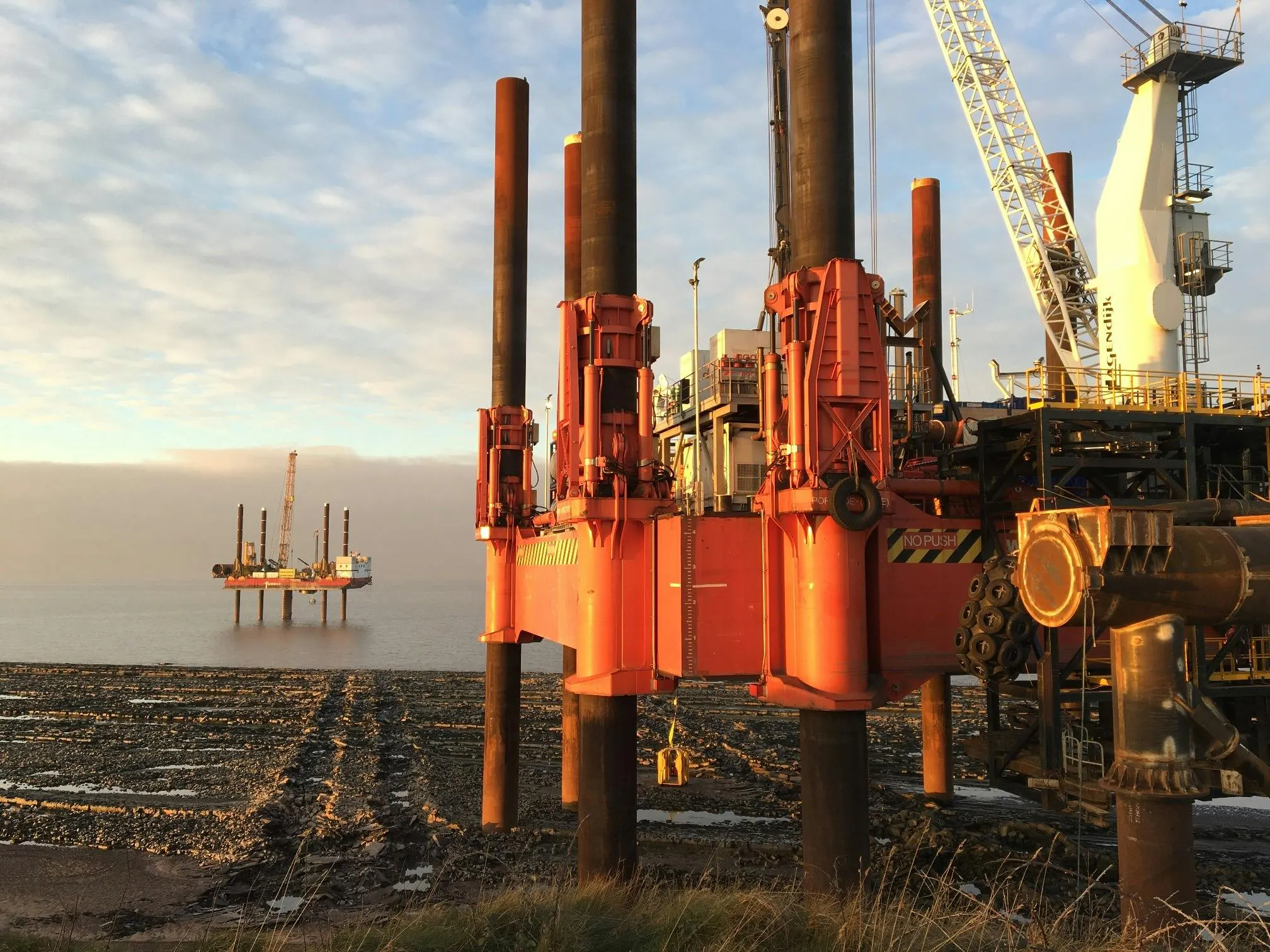
The Hornsea 4 wind farm is one example where modeling has made a real difference. Mapping ground conditions along the Holderness Coast in the UK was essential for designing and installing the cable landfall to support up to 180 turbines. Tidal conditions influenced the geotechnical site investigation, requiring careful planning of crews, jackup barge operations and setup activities.
A defining feature of local ground conditions is the Rowe Chalk Formation, and it meant the onsite ground investigation needed to test a range of factors when designing a suitable cable route. Fugro provided geotechnical desk study expertise to identify the best locations for the site investigation, using a database that captures all recent and historical site investigation data in the area.
By assessing beach exposures, local geology, potential geohazards and geomorphology, the study showed that the Chalk Formation was more fractured than anticipated. The contractor then took action to mitigate the impact this would have on the cable’s route.
Ultimately, reducing risk at offshore landfalls starts with a better understanding of the ground. By bringing geo-data insights into decisions earlier, developers can design with greater confidence and avoid costly surprises. As offshore energy scales up, the projects best placed to succeed will be those that invest in integrated geo-data from the beginning and continue to use it through installation and operations.
About the Author

Molly Thompson
Molly Thompson is a business development manager with Fugro's Land Site Characterisation team, where she focuses on nearshore and offshore energy, infrastructure and renewable development projects. She has a background in geology and oceanography, with experience spanning geotechnical investigations, geo-data acquisition and ground risk assessment. Thompson specializes in helping developers use integrated geo-data and site characterization to support informed project planning and reduce subsurface uncertainty.