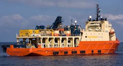
Positioning software supports UTEC in FairfieldNodal job
Offshore staff
HOUSTON– UTEC Survey has completed an ROV navigation and seismic node positioning project in the deepwater Gulf of Mexico.
The work was carried out forFairfieldNodal in about 2,425 m (7,956 ft) of water.
UTEC said it conducted the project using a combination of acoustics and inertial positioning technology, noting that a “key element” was the creation of an improved navigation software package incorporating NavView technology from data and positioning analysis company 4D Nav.
The system provided enhanced and precise positioning awareness along with the management of inertial sensors and a bespoke link to FairfieldNodal’s data acquisition system.
The real-time software enabled UTEC to integrate three separate positioning modules into one comprehensive package to increase efficiency and streamline user operations. It also provided enhanced graphics capabilities, following the replacement of existing online navigation, inertial navigation, and node management software.
07/11/2016
Share your news withOffshore at [email protected]
