Offshore Brazil seismic surveying and ROV deployments to boost deepwater exploration
The following initiatives demonstrate Brazil's ongoing commitment to deepwater exploration and attracting international investment in its offshore resources.
Fugro sending two ROVs to support exploration campaigns offshore Brazil
Constellation has awarded two three-year contracts to support deepwater exploration in the Campos Basin and Equatorial Margin offshore Brazil.
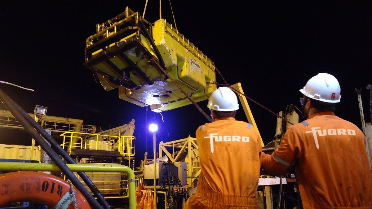
Fugro reported it will deploy two ROVs onboard Constellation-managed vessels; they will conduct subsea equipment inspections, interventions, observation and survey activities.
The first campaign should start shortly in the Campos Basin from the Tidal Action vessel, followed by a second deployment in the Equatorial Margin early next year from the Amaralina Star.
Fugro plans to equip both vessels with its FCV 3000 ROVs, which are deepwater vehicles said to be engineered for complex offshore environments and with a proven track record in technically harsh operating regions.
TGS, Viridien extending 3D seismic coverage over Barreirinhas Basin
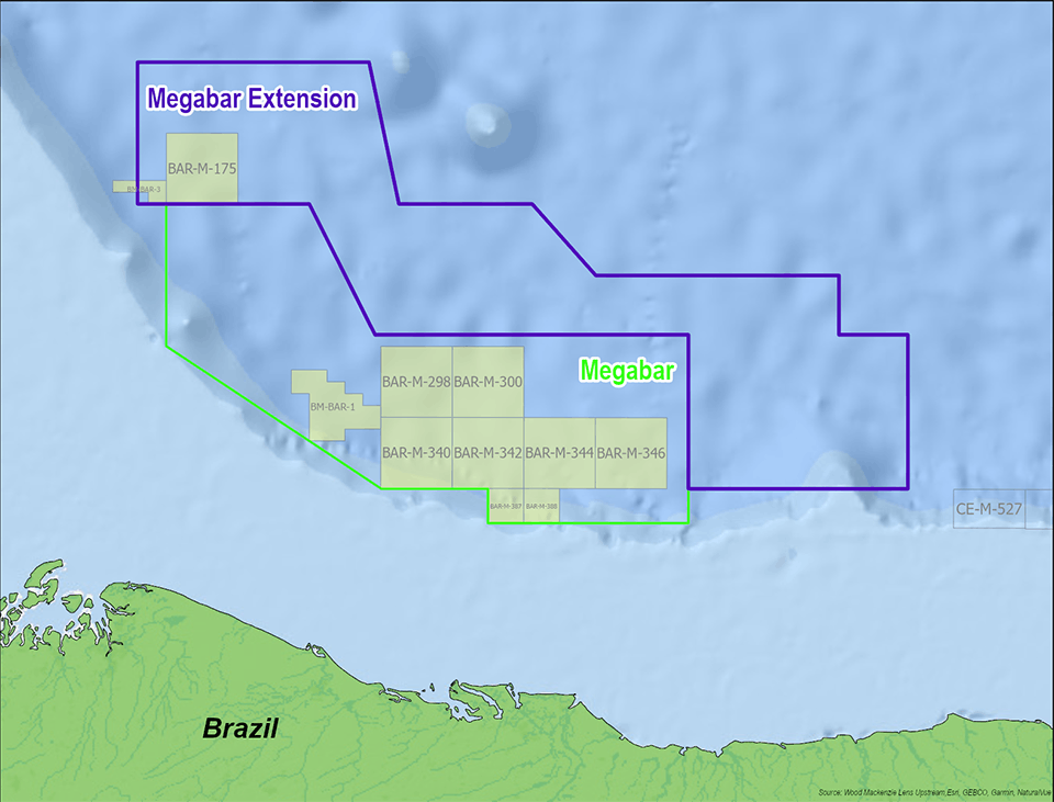
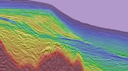
TGS and Viridien have jointly started the Megabar Extension Phase I 3D seismic survey in the Barreirinhas Basin offshore northern Brazil.
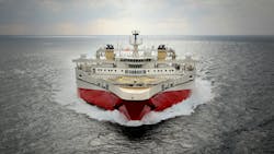
Viridien will perform imaging of the 5,300 sq km of multi-client data, which TGS will acquire using the Ramform Tethys streamer vessel.
According to Viridien, the existing Megabar, 14,000-sq-km Broadbeis survey was acquired over water depths ranging from 200 m to 3,300 m. The results are said to provide reliable data for structural and stratigraphic interpretation and prospect evaluation.
The Barreirinhas Basin has proven petroleum systems, with multiple discoveries in waters to the west in adjacent Guyana and Suriname basins. According to the co-venturers, both these basins demonstrate analogous deepwater play components.
IOCs are monitoring developments following their recent licensing activity along Brazil’s offshore equatorial margin, and the country’s recent 5th Cycle Permanent Concession Offer.
Megabar Extension Phase I will be acquired over an area with geological potential but no 3D data coverage. Ramform Tethys will deploy TGS’ GeoStreamer for the campaign, which is due to begin shortly and will continue until late November.
Viridien’s subsurface team will conduct imaging of the data, using the company’s Time-Lag Full-Waveform Inversion (TL-FWI) and Reverse Time Migration (RTM) technologies.
The goals are to identify new play potential, improve prospect assessment evaluation and de-risk future exploration.
First imaging products are due to be released by third-quarter 2026, followed by final data early in 2027.
About the Author
Jeremy Beckman
Editor, Europe
Jeremy Beckman has been Editor Europe, Offshore since 1992. Prior to joining Offshore he was a freelance journalist for eight years, working for a variety of electronics, computing and scientific journals in the UK. He regularly writes news columns on trends and events both in the NW Europe offshore region and globally. He also writes features on developments and technology in exploration and production.
