First 3D results issued from offshore Papua New Guinea survey
Offshore staff
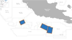
OSLO, Norway – PGS has completed its Painimaut 3D multi-client program, which involved acquiring more than 6,100 sq km (2,355 sq mi) of seismic data offshore Papua New Guinea.
Fasttrack 3D GeoStreamer data is now available, the company added.
The Painimaut program focused on various play types in the little-explored Papuan basin in both held and open acreage. It targeted Tertiary carbonate build-ups and Mesozoic rift basins adjacent to the Papuan and Eastern plateaus, and pinch-out plays and drapes over deeper structural highs.
PGS’ Ramform Hyperion towed a 12 x 8 km x 150-m (7.5 x 4.97 mi x 492-ft) streamer configuration with a triple-source to acquire the high-resolution broadband data.
Imaging teams are now processing the results using techniques that include a full pre-stack time and depth workflow.
Full integrity, high-resolution GeoStreamer data should be released early next year, and gravity/magnetic data will also be available.
05/01/2020
