NORWAY: Sintef-Clarkson project testing deepwater spills nears completion
The DeepSpill joint industry project (JIP) is nearing conclusion, with the final report expected to be ready by spring. At a time when the oil and gas industry is increasingly active in deepwater, the project provides a timely insight into the processes at play during a deepwater spill and how it should be handled.
The project was managed by Chevron and supported by the US Minerals Management Service (MMS) along with a wide range of oil companies. The primary contract was placed with Sintef of Trondheim, Norway. A series of offshore experiments was carried out in the Norwegian Sea last summer to provide data for verifying two deep spill models, with one developed by Sintef and one by Clarkson University in the US with joint US government and oil industry funding. The project also attracted the interest of several north European countries, representatives of which attended the experiments.
These took place on the Helland Hansen ridge some 125 km offshore, where the water depth is 850 meters, the seabed temperature -3° C, and the seabed pressure about 85 atmospheres. While in a shallow water spill, gas remains in gaseous form and acts as an engine driving the plume of oil to the surface more or less vertically above the spill site, it was expected that the higher pressures and lower temperatures of a deepwater spill would set different processes in motion.
Gas hydrates might form, in which the effect of the gas in driving the plume of oil upwards would be significantly lessened. The density stratification due to variations in temperature and salinity would also be likely to preclude the plume from simply moving vertically upwards.
Four gas releases
Four releases were carried out:
- Nitrogen (to test the equipment)
- Methane and light condensate
- Methane and a light-to-moderate oil
- Methane alone.
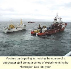
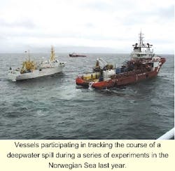
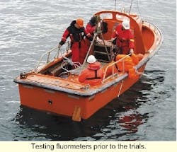
Monitoring was carried out from two oceanographic vessels that deployed a current profiler, water sampling equipment, and two remotely operated vehicles (ROVs), one for tracking the spill using sonar and video and one for collecting water samples and measuring droplet and bubble sizes. Air-borne SLAR, UV, and IR imaging techniques were also used to survey the slick which formed on the surface.
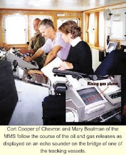
The ROV camera worked very well and provided some very good footage of the hydrocarbons over the first 50-100 meters from the release site, according to Cortis Cooper, senior staff scientist at Chevron Petroleum Technology Company. The echosounder also proved very useful in tracking the oil as it rose. But the second ROV did not function as intended.
Cooper declined to comment on whether hydrate formation took place, on the grounds that this is proprietary information. The oil reached the surface quite close to the release site and formed a thin layer for the most part. Here, on the recommendation of the Norwegian State Pollution agency, it was allowed to disperse naturally.
A good data set was obtained for verifying the two models. While this work is still ongoing with the Clarkson university model, in the case of the Sintef model, the data showed a good degree of correlation with the model predictions, Cooper said. Some adjustments to the models are being made on the basis of the data.
The project has shown that there could be confidence that the models would predict the course of a possible spill with some degree of accuracy. The usefulness of echosounders for tracking a spill has also been demonstrated in practice.
The project also showed that experiments of this nature can be carried out without harming the environment. "For me, this illustrates what can be done when government regulators and industry work together in an atmosphere of cooperation," Cooper said.


