OTC 2025: AUVs and cloud data are transforming offshore operations
By Kris Rydberg and Cris Weber, Terradepth
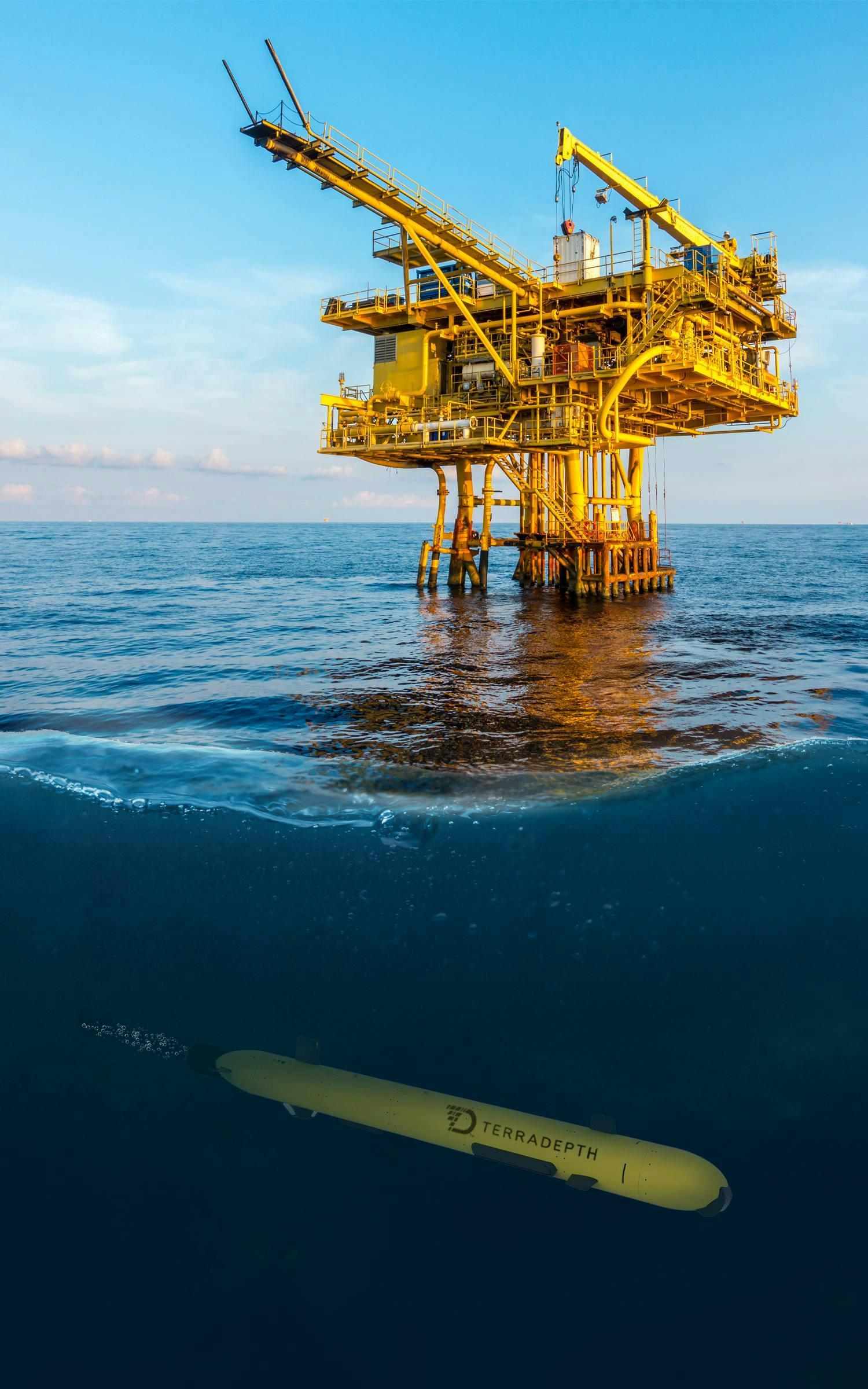
As the offshore energy industry evolves in response to environmental demands and operational challenges, data-driven decision-making has become a cornerstone of success. AUVs and cloud-based ocean data are redefining how operators approach subsea exploration, inspection and monitoring. Through increased efficiency, reduced risk and unprecedented access to high-resolution data, these technologies are transforming offshore workflows.
This article explores three real-world case studies that illustrate the growing value proposition of cloud-based ocean data collected by AUVs as well as the unique capabilities that autonomous vehicles offer.
Pipeline inspection in heavy maritime traffic
In a recent project, a pipeline inspection was required in an area with dense commercial ship traffic making data collection very difficult. Traditional ROV inspections had failed due to the navigational risks posed by constant surface activity. Additionally, the ROV’s video-based inspection was hindered by high turbidity, common in such busy waterways.
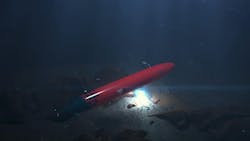
To overcome these obstacles, the team deployed an AUV, which operated safely beneath the traffic and completed a detailed inspection. The AUV successfully pinpointed the area of concern, proving its value in environments where conventional approaches fall short. Its precision and efficiency minimized downtime and allowed operations to continue uninterrupted.
HVDC cable and environmental assessment
In another case study, an inspection of a high-voltage direct current (HVDC) cable system required detailed infrastructure assessment alongside a mapping of local undersea flora. The amount of data to be collected and speed at which it needed to be analyzed made traditional methods impractical and too expensive. The dual objectives demanded both engineering-grade precision and ecological sensitivity.
The use of AUVs allowed for non-invasive data collection across multiple datasets, ensuring the local marine environment was left undisturbed during collection. Once acquired, the data was ingested into a secure, cloud-based geospatial platform, where it was visualized and could be shared in near-real time. Stakeholders were able to make informed decisions on both technical and environmental fronts. The result was a comprehensive view of the utilities on the seabed and the health of the seagrass in the area.
Geophysical survey for offshore construction
In a third application, a geophysical survey was conducted for a planned desalinization plant situated in a region with steep underwater cliffs and deep water. These environmental complexities made traditional survey methods impractical and cost prohibitive.
AUV technology enabled the operator to conduct high-resolution inspections at 6-cm accuracy in areas that would have otherwise been inaccessible. The ability to rapidly mobilize and execute the survey at a fraction of the cost and time of conventional methods was crucial.
More importantly, the data was delivered via a cloud-based ocean data platform allowing for seamless integration, visualization and interpretation by multiple stakeholders, in near-real time, further accelerating project timelines.
Conclusion
These real-world examples highlight the transformative impact that AUVs and collaborative, cloud data platforms can have on offshore energy projects. Whether navigating complex terrain, operating beneath heavy maritime traffic, or balancing infrastructure and environmental priorities, the ability to collect, process and act on high-resolution subsea data in near-real time is more critical than ever.
As offshore operators face growing pressure to optimize performance, reduce environmental impact and maintain operational resilience, autonomous collection and modern data infrastructure will continue to play a central role in shaping the industry’s future. The shift toward ocean data intelligence isn’t just a trend—it’s a necessary evolution.
In addition to attending the Offshore Technology Conference (OTC), which is taking place May 5-8 in Houston, the Terradepth team will be at the THSOA Houston Chapter Annual OTC Crawfish Boil. The event is hosted by the Hydrographic Society and takes place from 5-9 p.m. on Tuesday, May 6, at Karbach Brewery.
About the Author

Kris Rydberg
Kris Rydberg is the COO at Terradepth, where he leads the company’s commercial strategy and operations, bringing ocean data as a service (ODaaS) to the offshore industry. With more than 30 years of experience across energy, technology and infrastructure, he specializes in turning emerging technologies into scalable, real-world solutions.
At Terradepth, Rydberg helps deliver a complete subsea data offering—combining AUVs with a cloud-native platform called Absolute Ocean. His focus is helping offshore operators shift from one-time, capex-heavy surveys to a more agile, data-driven model that supports long-term insight and efficiency.

Cris Weber
Cris Weber is a professional engineer at Terradepth, with a strong foundation in ocean and coastal engineering as well as geomatics and survey program management. He is experienced in leading multidisciplinary engineering design teams and delivering high-quality projects across a wide range of water resource and infrastructure projects.
With a focus on first-principle problem-solving, he brings expertise in managing complex programs and providing strategic direction for successful project execution. His work spans both inland rivers, reservoirs and offshore subsea environments, focused on delivering innovative solutions for diverse project challenges.

