Integration the key to reservoir characterization
Reservoir characterization is defined as "the 3D quantitative determination of a reservoir, including its limits, structural framework, volume, heterogeneity, and corresponding distribution of rock and fluid properties." The objective is to generate a model capable of predicting how a reservoir will produce hydrocarbons, in a push to maximize production and minimize costs through reduced drilling by optimizing well positions.
Historically, reservoir characterization has been an engineering-driven process instead of a collaborative study by an integrated team of geoscientists. The explorationist would deliver mapping results to the development geologist and geophysicist to re-interpret. They would provide the structural framework to the reservoir engineer.
The reservoir engineer would then use the maps, together with well data, to build a reservoir model. Once production data became available, the engineer would typically modify the model by changing permeabilities or inserting barriers where none had been interpreted before. It's clear that an opportunity to truly quantify and understand the reservoir was lost by working in a vacuum instead of an integrated team.
Veritas' has developed a metho dology in reservoir characterization based upon integration of four key disciplines: petrophysics, geology, geophysics, and reservoir engineering. Emphasis is placed on utilizing appropriate technologies from each discipline in an integrated study to quantify the reservoir.
Integration of disciplines is the only way to identify and fully understand reservoir heterogeneity. Heterogeneity of a reservoir - controlled by its environment of deposition - is often the most critical parameter affecting reservoir simulation, and ultimately, hydrocarbon recovery.
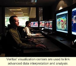
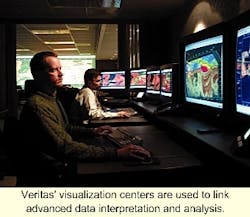
Since many of the world's reservoirs are fractured, Veritas has developed a technique for identifying fractures from seismic AVO analysis. 3D visualization is also an important part of the process allowing for a collaborative interpretation of the reservoir model with the ability to rapidly QC complex models.
Reservoir data is composed of hard data and soft data. Hard data contains known reservoir properties at specific locations, while soft data is only correlatable to known reservoir properties. Well logs, core data, and production data are all hard data.
The problem is that hard data typically represent a sparse sampling of the reservoir, so the focus of reservoir characterization becomes: "How do we interpolate between well control?" Soft 3D seismic data represents a densely populated data set which can be effectively used to interpolate the parameters of the reservoir between wells by building a correlation with reservoir parameters seen in the well control and seismic attributes pertinent to identifying reservoir properties of interest.
Veritas is making a strong push toward total software integration through a common Earth model database solution, allowing data from each discipline to be passed easily from one software package to the next.

