ASKER, Norway –TGS has expanded its Constitution group of WAZ 3D projects in the Gulf of Mexico with the Declaration survey.
Acquisition starts this month using five CGG vessels. Preliminary data should be available at the beginning of 2015 ahead of OCS Lease Sale 235
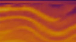
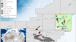
Declaration will cover 6,061 km2 (260 OCS blocks or 3,766 mi) in the Mississippi Canyon and Viosca Knoll protraction areas of the Central GoM and will be acquired orthogonal to TGS' underlying Justice WAZ 3D survey. With offsets to 16 km (10 mi), this data will be acquired with a single pass vessel configuration derived from CGG’s StagSeis technology in an effort to better image deep structural elements and to improve subsalt and salt flank illumination.
Data will be processed as a stand-alone volume and will also be integrated with TGS' existing Justice data to provide orthogonal wide-azimuth (M-WAZ) coverage over the area. Data will be processed using TGS imaging technology including Clari-Fi and Orthorhombic migrations.
TGS also has other GoM projects, ibncluding the Explorer deepwater survey and ocean-bottom node work.
10/09/14


