Offshore staff
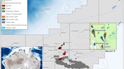
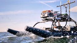
DUBLIN, Ireland – Dolphin Geophysical’s M/V Sanco Sword has started a 3D seismic survey over frontier exploration license (FEL) 1/14 (Spanish Point South) 140 km (87 mi) offshore western Ireland.
According to license partner Providence Resources, this will cover a 750-sq km (290-sq mi) area in the northern Porcupine basin, in water depths of 300-650 m (984-2,132 ft). Capricorn Ireland, a subsidiary ofCairn Energy, is operator.
The survey will target Upper Jurassic and Lower Cretaceous reservoir intervals which previously tested gas condensate and oil from the Spanish Point (35/8-2) and Burren (35/8-1) discoveries in adjacent acreage to the north.
Four wells drilled in the Spanish Point South area all encountered hydrocarbon shows.
Providence says the current best estimate of gross on-block unrisked prospective recoverable resources is 350 MMboe – this does not include theSpanish Point discovery in FEL 2/04, which is due to be drilled next year, or FEL 4/08.
John O’Sullivan, technical director of Providence, said: “This new 3D seismic survey over the Spanish Point South area is our third such program in this part of the basin since 2009. When combined, these new data will allow for a comprehensive re-evaluation of the total hydrocarbon resource potential of this area, where previous wells have successfully tested both oil and gas.
“We believe that the key risk is reservoir quality, rather than hydrocarbon presence, and so we consider that modern high-quality 3D seismic imaging will be a significant tool in reservoir prediction.”
08/14/2014
