Airborne gravity survey designed to clarify Bahrain’s offshore potential
Offshore staff
MASSY, France – CGG has completed acquisition and processing of what it claims is the first airborne gravity gradiometry (AGG) survey over the Kingdom of Bahrain.
The company performed the survey on behalf of theBahrain Petroleum Co. (Bapco) using FalconPlus, the newest release and the lowest-noise of CGG’s suite of Falcon AGG systems.
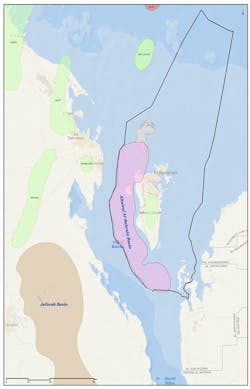
A resultant data set is now available comprising around 18,000 km (11,184 mi) of high-resolution, low-noise airborne gravity gradiometer and magnetic data over roughly 7,700 sq km (2,973 sq mi) of open exploration acreage across the Kingdom’s offshore licensing blocks.
Bapco and future license holders can make use of the results to evaluate the offshore hydrocarbon potential and identify exploration priorities ahead of future licensing rounds.
CGG will work with Bapco on an integrated study that will combine the AGG data with existing seismic, well, and other geological information.
This should improve the seismic imaging and interpretation of existing vintage seismic over the area, and identification of prospectivity.
The study will also help to develop improved velocity models for mitigation of near-surface effects, CGG says, enhancing understanding of the region’s complex Pre-Khuff section as well as helping to image salt thickness and the edges of salt flanks in order to prospects and leads created by salt bodies.
Yahya Al Ansari, Bapco’s Exploration Manager, said: “The Kingdom of Bahrain will benefit from the additional, geological insight brought by the higher sensitivity of the CGG FalconPlus data and its subsequent integration with our existing information.”
02/16/2017
