Offshore staff
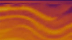
AUSTIN, Texas – Austin GeoModeling Inc. has released a new dynamic 3D geological interpretation and modeling program.
The patented software covers a method to automate day-to-day cross-section and map generation for oil and gas reservoirs in AGM’s Recon program and underlying Cascade Technology, said Austin GeoModeling. It also covers creation of recursively conformable stratigraphic frameworks with 3D structural fault-block definitions using stratigraphic termination rules.
“This patent describes our integrated 3D geological interpretation software, designed to enable geoscientists to work more efficiently, which improves the accuracy of their oil and gas subsurface reservoir interpretations,” said Robin Dommisse, CEO, AGM.
08/23/2011


