Offshore staff
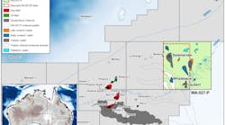
ASKER, Norway – TGS soon will start to acquire 42,000 km (26,097 mi) of magnetic, gravity, and oil seep data offshore southeast Greenland.
This will lift the company’s total airborne data coverage over Greenland to around 311,000 km (193,246 mi).
"This year's acquisition campaign gives us full data coverage of the most prospective regions of offshore Greenland,” said Senior VP Europe & Russia, Kjell Trommestad.
“This is the first time TGS has included Seepfinder equipment which will bring a new and important dimension to this regional data set by detecting oil seeps on the sea surface."
TGS plans to make the processed data available to its clients this summer.
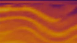
The company has also initiated its fourth 3D multi-client survey in partnership with PGS, covering 2,772 sq km (1,070 sq mi) in the North Viking graben of the North Sea.
PGS' Atlantic Explorer is acquiring the data using GeoStreamer technology. This year's campaign, combined with data acquired during 2009-2010, will bring the total of 3D data over the region to more than 7,500 sq km (2,896 sq mi).
06/08/2011


